Independent economic studies for the governments, developers, and businesses of Wasco County, built on the county's own federal data and designed to hold up when a lender, a city council, or a funder reviews them.
| Largest sectors by employment | Jobs | Concentration |
|---|---|---|
| Health care & social assistance | 2,379 | 1.37x |
| Retail trade | 1,599 | 1.38x |
| Accommodation & food services | 1,248 | 1.19x |
| Educational services | 774 | 0.8x |
| Public administration | 520 | 0.92x |
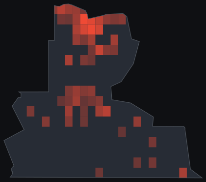
Source: U.S. Bureau of Labor Statistics, Quarterly Census of Employment and Wages, 2023 annual averages, Wasco County. Concentration is a location quotient (county sector share of employment divided by the national share), computed by Project Red Team. Covered jobs exclude the self-employed and some agricultural workers.
Wasco County runs on roughly 11,405 covered jobs across 1,167 establishments, at an average annual wage of $53,069, with employment essentially flat over the year, up 0.5 percent. Health care and social assistance is the largest employer by headcount at 2,379 jobs, followed by retail trade (1,599), accommodation and food services (1,248), educational services (774), and public administration (520), the ordinary spine of a regional hub town anchored by The Dalles. The county's highest specialization is utilities, running at 1.62 times the national rate, though it accounts for only 101 jobs. That concentration traces to The Dalles Dam and the Columbia River hydroelectric system, which generate a large share of the region's power with a small workforce, so the location quotient captures scale of output rather than a large employment base. Retail trade (1.38x), health care (1.37x), and accommodation and food services (1.19x) round out the county's real concentrations, a service and hospitality base sized for more visitors and shoppers than the resident population alone would explain. Information falls outside the county's top specializations, though it is the sector that would capture data center jobs; Google's decades of investment in The Dalles show up in the tax base and the water system more than in the employment count above.
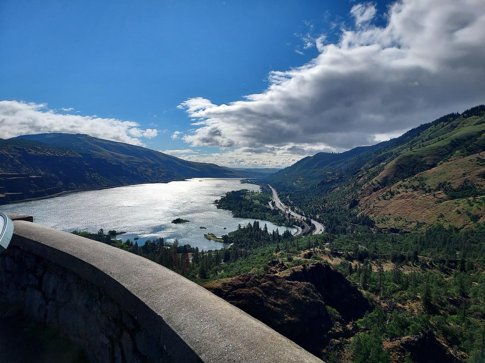
Wasco County's economy grew up around the Columbia River: The Dalles was the end of the overland Oregon Trail and the start of the river route to the Willamette Valley, and it later became a hydropower and freight hub once The Dalles Dam was completed in 1957. Above the river, commercial cherry growing in the county dates back to 1886, and Wasco County's orchards now produce a large share of the sweet cherries, pears, and apples that come out of the Columbia River Gorge growing region, along with the fruit-packing and cold-storage operations that process each summer's harvest. Wind development has added another layer to the power economy, including the county's own PaTu Wind Farm near Rufus and the larger Columbia Plateau wind farms just across the county line in Sherman County. The Columbia River Gorge National Scenic Area begins at the county's western edge and draws visitors for windsurfing, hiking, and the Oregon Trail history that runs through The Dalles itself, supporting the retail and hospitality numbers above.
Since 2006, Google has built four data center buildings across three sites in The Dalles under 15-year property tax exemptions the city and county approved through Oregon's enterprise zone program and the state's Strategic Investment Program, and a fifth building is underway on a former aluminum smelter site along the river. The investment came with a fight over what the public gets to know about it: in 2021 the city sued a local newspaper to keep Google's water use secret, then settled after roughly a year in court and released figures showing the data centers accounted for close to a third of the city's total water use. The city's 2024 water master plan now projects a need for at least a million more gallons a day for an unnamed large industrial user, and officials are pursuing a transfer of Mount Hood National Forest land to triple the reservoir that would supply it, while the city and Google maintain the expansion is not built around the data centers specifically. Whatever comes next on that site, or the next request for water rights or a tax abatement, is the kind of claim a public agency should be able to check against an independent number.
The live candidate for this county is the Mount Hood National Forest land transfer and reservoir expansion The Dalles is pursuing to meet a 'large industrial user' water demand identified in its 2024 master plan, running in parallel with Google's fourth completed data center building and a fifth underway. A fiscal and economic impact analysis can separate the pieces that get conflated in the public debate: the jobs, payroll, and property tax revenue the data center campus actually delivers to Wasco County and The Dalles net of the enterprise zone and Strategic Investment Program abatements already granted, against the water rights, reservoir capacity, and Forest Service land the city is asking the public to commit to serve a user it has not named. That is a number worth having before the land transfer bill moves, and the county's own federal data is where an honest version of it starts.
Public-data path: regional input-output multipliers, free-data regionalized or drawn from a purchased BEA RIMS II order where a project supplies one, BLS QCEW and Census LODES and ACS for the local labor and commuting base, USDA NASS for the orchard and wind-lease economy, and the public record itself, including Oregon enterprise zone and Strategic Investment Program abatement filings, the City of The Dalles water master plan, and the water-use figures the city released under its 2022 public-records settlement.
We produce the study first: economic impact (what a project brings to Wasco County, in jobs, output, and tax revenue, with local leakage handled honestly), feasibility and viability (whether it should move forward, measured with the finance a lender runs), and fiscal impact for public budgets and grant applications. Every engagement returns a full report, a one-page brief, a reviewer pack, and a decision package.
And if a study is already in hand, we review it: we inventory its quotable claims, attach the evidence, and tell you plainly what survives review before you quote it or fund against it. More on reading a study before you rely on it.
National firms fly in, bill the travel, and price a county like Wasco out of the analysis it needs, even as the company negotiating its next water agreement or tax abatement can afford a specialist of its own. Wasco County sits on the US-97 corridor linking Central Oregon to the Columbia River, and we work across that corridor and the interior West. We can be on-site in The Dalles, and we build every study on the county's measured federal record, the same BLS and Census data behind the numbers above, so the result traces to a public source and survives scrutiny from either side of the table.
Have a project in Wasco County? Tell us what you are weighing and where. We will lay out what it takes to answer it, and what it costs.
Commission a study